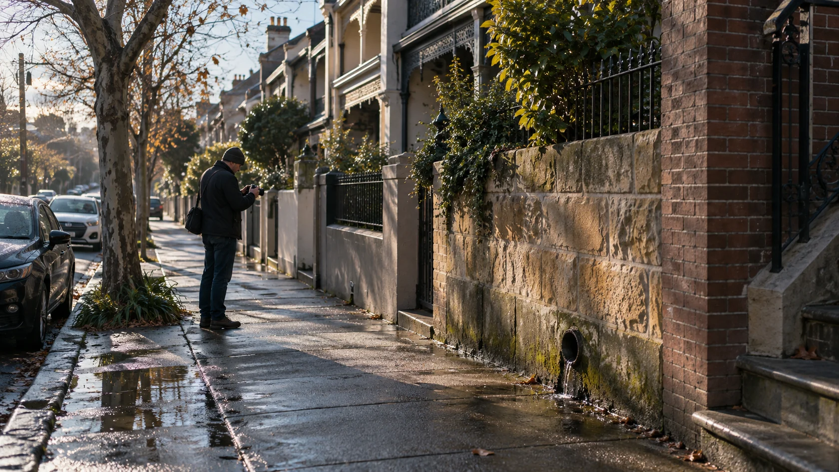
Site and context photography
Capture the wider setting and relevant detail from an authorised or otherwise lawful position.
Document recurring property conditions, access issues and visible activity through dated images, observations and mapped context.
Property disputes can become dominated by competing recollections. A defined documentation plan can establish dates, duration, visible conditions and repeat patterns without inflaming the dispute.
Methods are selected only after purpose, legality, proportionality and evidentiary requirements have been assessed.
Capture the wider setting and relevant detail from an authorised or otherwise lawful position.
Repeat agreed viewpoints and explain changes in lighting, access or visibility.
Record observation periods and dates alongside the images, including occasions when the activity was absent.
Review relevant public records and maps, noting scale, date and any limits on boundary accuracy.
Final deliverables depend on the agreed scope and what can lawfully and reliably be established.
A referenced visual account of the location and visible conditions.
Images aligned by viewpoint and date so changes can be compared.
A sequence of documented incidents or conditions and the periods observed.
Plans and records labelled with their source and accuracy limitations.
Identify the disputed location and the specific condition or activity. Record when it occurs and provide any relevant access restrictions. A useful plan may involve repeat visits from permitted positions, rather than a single photograph selected after an argument.
A photograph can show an apparent fence line without establishing the legal boundary. Ask whether a surveyor, council record or lawyer is needed for that question. Documentation should avoid trespass, unnecessary capture of neighbours and conduct that escalates the dispute.